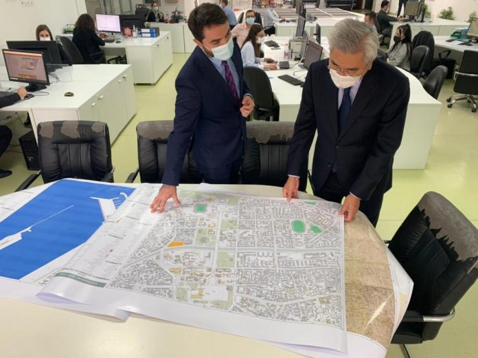
TIRANA, November 5/ATA/ After three decades, Albania has created for the first time the digital topographic maps of contemporary standards, which come in support of sustainable and long-term development of the economic and social sectors of the country.
The 1: 2000 scale topographic maps covering 300 km2 were created by a successful cooperation between the State Geospatial Information Authority (ASIG) and the JICA Project Team involving local companies. The maps are in accordance with the EU INSPIRE directive and have high resolution and accuracy.
The Closing Conference of the Project as well as the Balkan Regional Conference were held on November 4 and 5, to share the results achieved with stakeholders, government agencies, municipalities, embassies of Japan in the Balkan region, local companies, etc. who are potential users of the created digital topographic maps.
The ceremony took place at the ASIG headquarters in Tirana. Attending the event was Ambassador of Japan to Albania Takada Mitsuyuki, the Chief Representative of the Balkan Office of JICA Takeichi Jiro, the General Director of ASIG Lorenc Çala and other interested actors.
On his part, Director Çala said that, “About 80% of the decision-making of Central and Local Government directly affects the territory and the existence of digital topographic maps already helps tremendously in the planning, development and monitoring activities of many institutions in Albania” ./ a.a /p.s./